Gallery
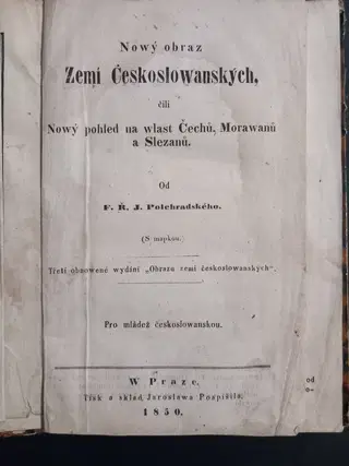
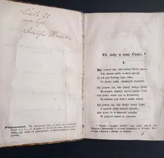
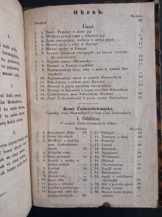
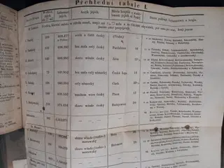
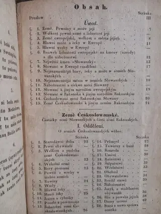
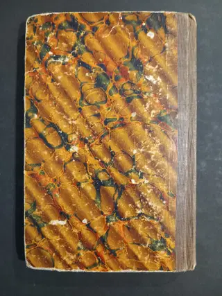
1850 Nowý obraz Zemí Českoslowanských, čili Nowý pohled na wlast Čechů, Morawanů a Slezanů
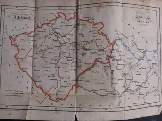
A patriotic geographical handbook for Czech youth, first issued during the Czech National Revival and substantially revised following the revolutionary events of 1848. Written by F. K. J. Folejtrajský, the work presents the geography, history, economy, administration, languages, religion, and natural features of the Czech lands within the Habsburg monarchy. The text is accompanied by a detailed folding map showing the historical lands and administrative divisions, together with a large statistical table of population, languages, districts, and regional administration.
A characteristic educational publication of the early post-1848 period, reflecting the growing Czech national consciousness and the renewed interest in the historical lands of Bohemia, Moravia, and Silesia.
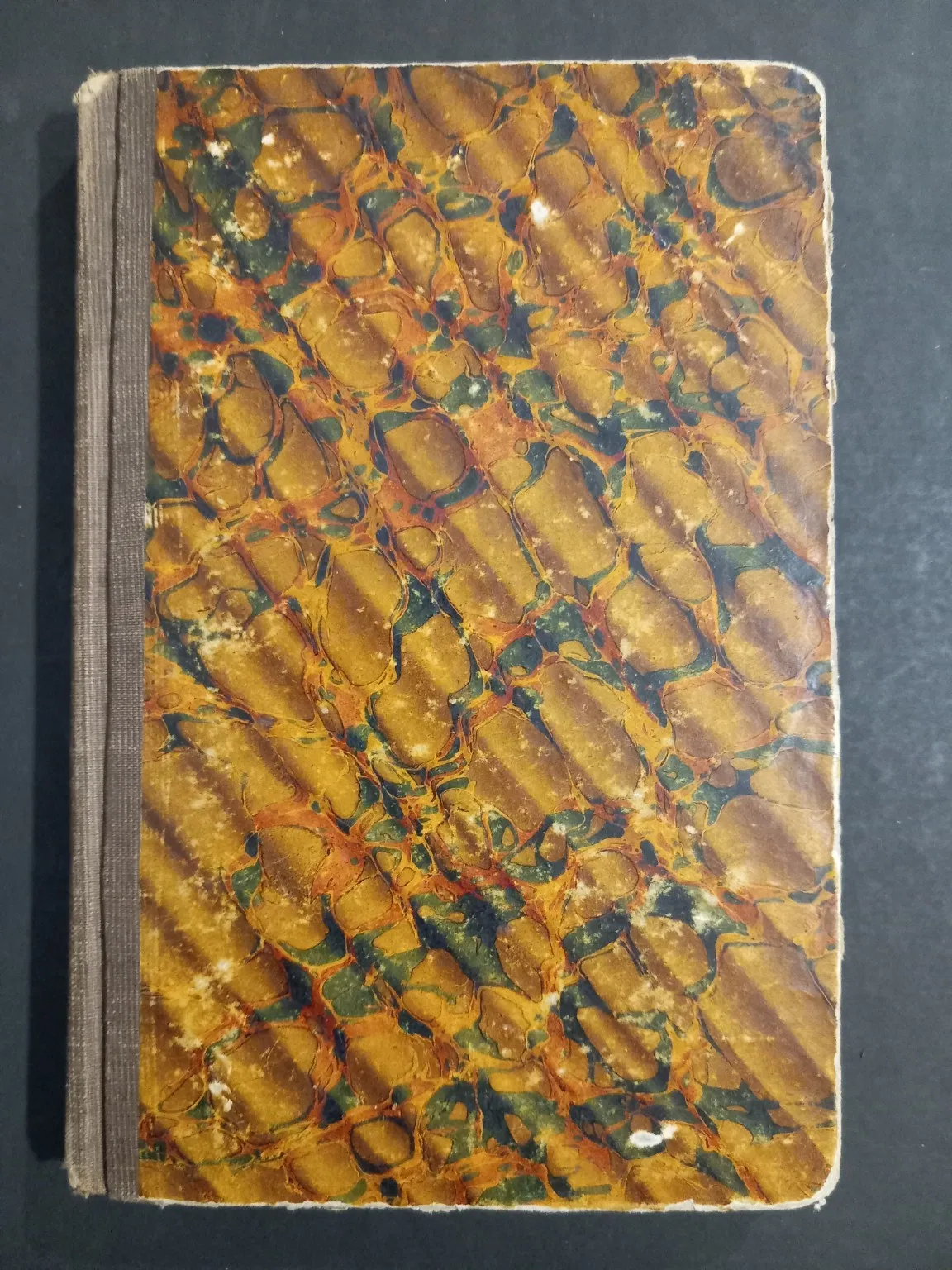
Very good condition. Light foxing and occasional staining, chiefly to borders of title page and first six pages. Contemporary marbled boards with moderate rubbing and scattered wear, but sound and attractive. Folding map and table complete.
![Ansichten von Bremen [Views of Bremen]. Fifteen Original Albumen Photographs](/_amplify/image?url=https:%2F%2Fmorganbooks.s3.eu-central-1.amazonaws.com%2Fmedia%2Fimages%2F4ccb2752-8b81-4ba1-b0f3-90bebd972b77.jpg&w=640&format=webp&q=75)