Gallery
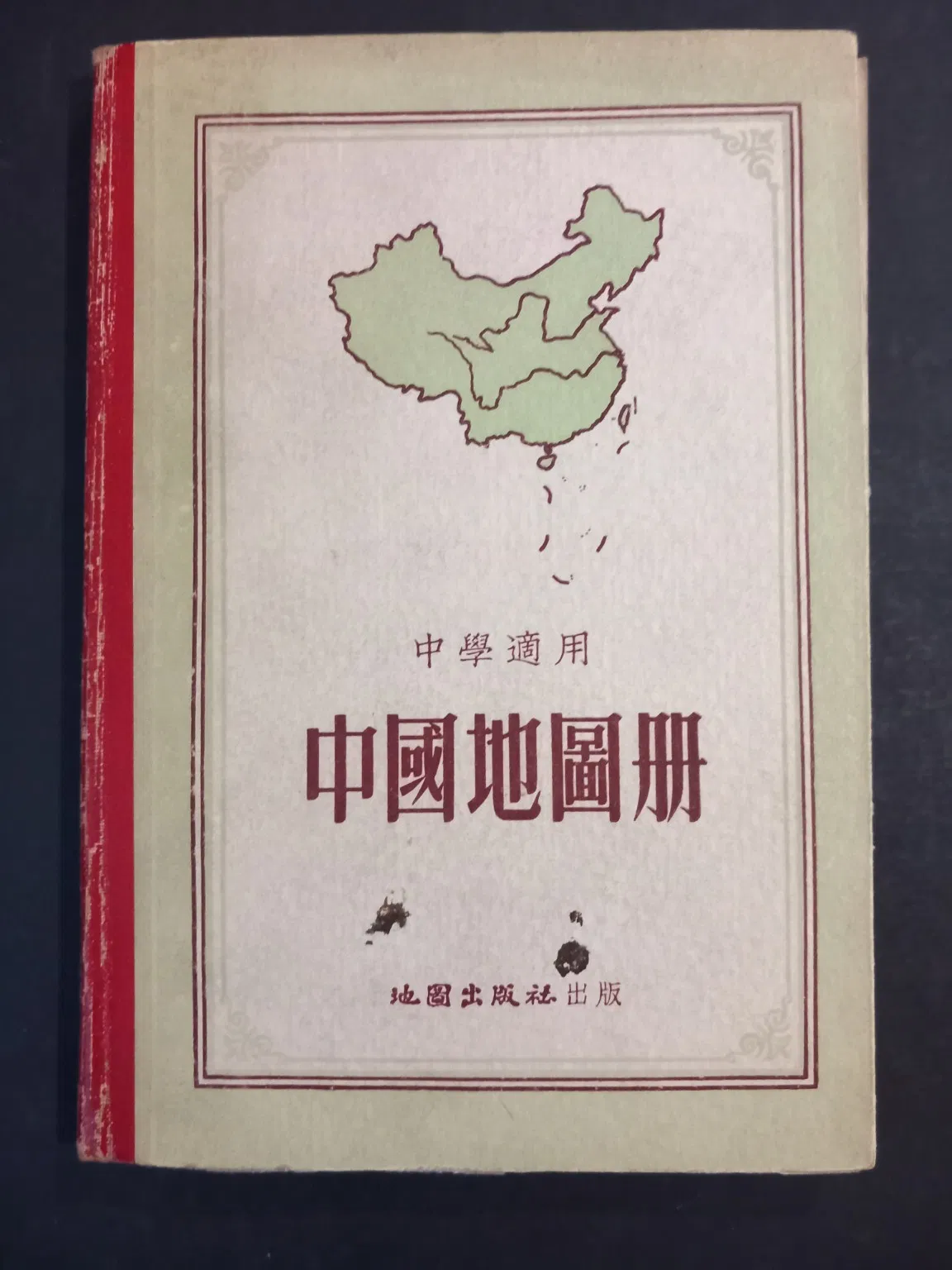
中國地圖冊 / Zhongguo Dituce – Atlas of China
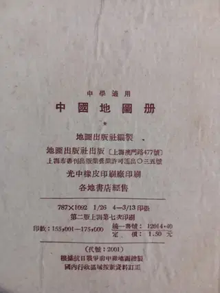
China Atlas for Middle Schools (中國地圖冊 / Zhongguo Dituce – Atlas of China)
Shanghai: Cartographic Publishing House (地圖出版社), n.d. [ca. late 1950s–early 1960s]. Second edition, seventh Shanghai printing. 8vo. Hardcover. Approx. 25 double-page colour maps, including several larger fold-out maps. Text in Chinese.
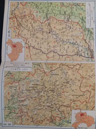
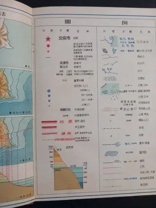
School atlas issued for middle-school geography instruction in the early People's Republic of China. The atlas contains thematic maps of administrative divisions, topography, climate, agriculture, mineral resources, population, transportation, and ethnic groups, followed by detailed provincial maps covering all major regions of China, including Inner Mongolia, Xinjiang, Tibet, Sichuan, Guangdong, Yunnan, and Manchuria. Several maps incorporate inset regional plans and enlarged city or border-area details.
Particularly interesting as a period cartographic document reflecting the territorial and administrative organization of the PRC during the Mao era. The maps employ attractive multicolour printing with relief shading, transportation networks, hydrological features, and provincial boundaries clearly delineated. The title page notes that the atlas was compiled by the Cartographic Publishing House and revised according to newly established administrative divisions.
Original publisher's pictorial boards. Very good condition. Light wear to spine ends and corners; contents clean and bright. A well-preserved example of a scarce educational atlas from the formative years of Communist China.