Gallery
Školní Atlas Protektorátu Čechy a Morava
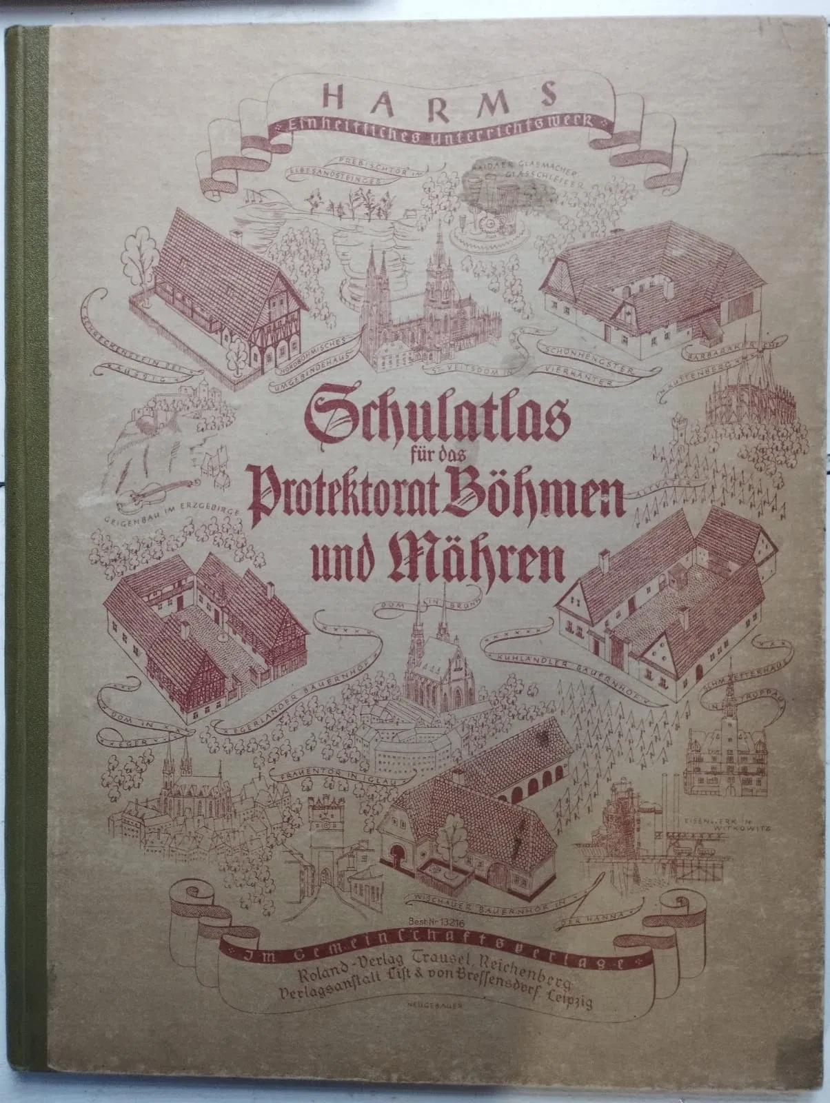
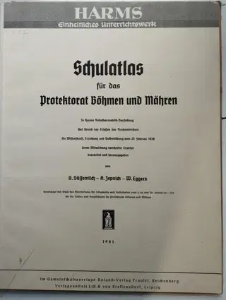
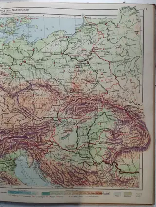
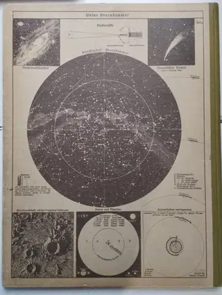
Schulatlas fur das Protektorat Bohmen und Mahren. Ve společném vydání nakladatelství Roland-Verlag Traufel, Reichenberg a nakladatelství Lift & von Brellensdorf, Lipsko, 1941. V němčině. 25,8×33,3cm. 32 stran. Atlas je kompletní, obsahuje samostatnou mapu Deutsches Reich. Barevné mapy Československa, Evropy, Asie, Ameriky i Afriky. Na zadní straně obálky je mapa hvězdné oblohy. Ve velmi dobrém stavu, viz foto. Inv. H7.
Schulatlas fur das Protektorat Bohmen und Mahren. Jointly published by Roland-Verlag Traufel, Reichenberg, and the publishing house Lift & von Brellensdorf, Leipzig, 1941. In German. 25.8 × 33.3 cm. 32 pages. The atlas is complete and includes a separate map of the Deutsches Reich. Contains color maps of Czechoslovakia, Europe, Asia, the Americas, and Africa. On the back cover, there is a map of the starry sky. In very good condition, see photo. Inv. H7.