
Gallery
1915 Relief Map of Northern Galicia, East Prussia, Russian Poland (Former Congress Poland) and Adjacent Eastern Governorates
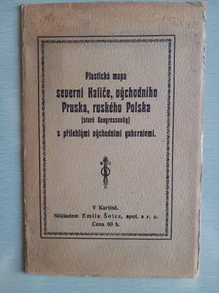
Plastická mapa severní Haliče, východního Pruska, ruského Polska (staré Kongresovky) s přilehlými východními guberniemi / Relief Map of Northern Galicia, East Prussia, Russian Poland (Former Congress Poland) and Adjacent Eastern Governorates. V Karlíně: Emil Šolc, [ca. 1915].
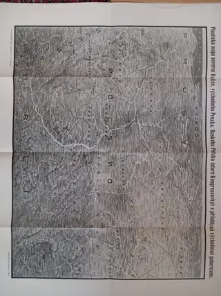
8vo. Original printed wrappers. Folding relief map (43 × 55 cm) attached to inner rear cover as issued. Printed in grayscale with topographical shading and extensive place-name detail. Issued as part of Emil Šolc's series of “plastické mapy” produced for following military operations during the First World War.
A detailed wartime map covering the Eastern Front from East Prussia and Congress Poland through Galicia and adjacent regions of the Russian Empire. The map emphasizes terrain and elevation through shaded relief, allowing readers to visualize the strategic geography of one of the principal theatres of the Great War. The rear wrapper advertises other maps in the series depicting the Western Front, the Carpathians, the Dardanelles, Italy, the Baltic provinces, and other active war zones.
An attractive example of Czech wartime cartographic publishing intended for the general public, issued in portable booklet form for contemporary reference during the rapidly changing campaigns of 1914–1915.
Very good condition.